We are located in Washington State. Recently we have been helping to locate a destructive noxious weed known as Japanese knotweed. We wanted to help the county find a way to locate knotweed along some tributaries on the Chehalis River and the Cowlitz River. To test out some sensors we went to the Olequa Creek near Vader, Washington.
What is knotweed? (WIKI)
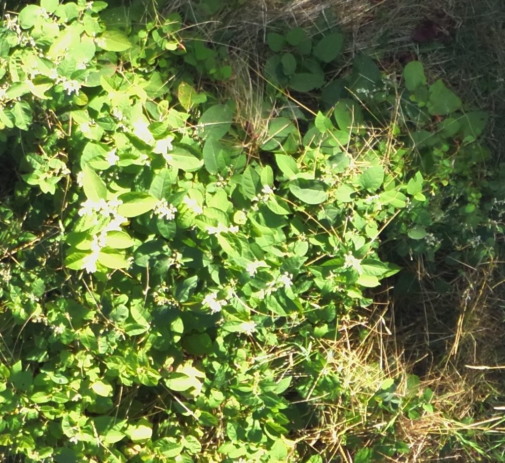
Japanese (Polygonum cuspidatum), Giant (P. sachaelinese), their hybrid Bohemian (P. bohemicum), and Himalayan knotweed (P. polystachyum) are perennial plants native to Asia. These plants were introduced to the Unites States in the late 1800’s as ornamentals and have since spread to many areas throughout the Pacific Northwest. Common names include Mexican or Japanese Bamboo, elephant ear and fleeceflower. Knotweed species are also known by the name Fallopia, such as Fallopia japonica. By any name, they are invasive to the health of our rivers and ecosystems.
What does it look like?
Your plant may be knotweed if:
- It grows in dense stands, six to twelve feet tall.
- Its leaves are heart shaped, lance-shaped, or triangular andbetween one to twelve inches with smooth (not saw-toothed) edges.
- Its leaves are alternately arranged on the stem, which often has a slight zig-zag appearance.
- It has bamboo-like, hollow green or reddish stems.
- It is found growing along flood plains along rivers and creeks, and in yards, roadside ditches, waste areas and beaches.
- It starts growing in April and is full size by July.
- It has spikes of small, white flowers in late summer.
- It goes dormant in the winter, alhough dead, brown steems may remain standing.
We flew 2 different drones and 3 different sensors.
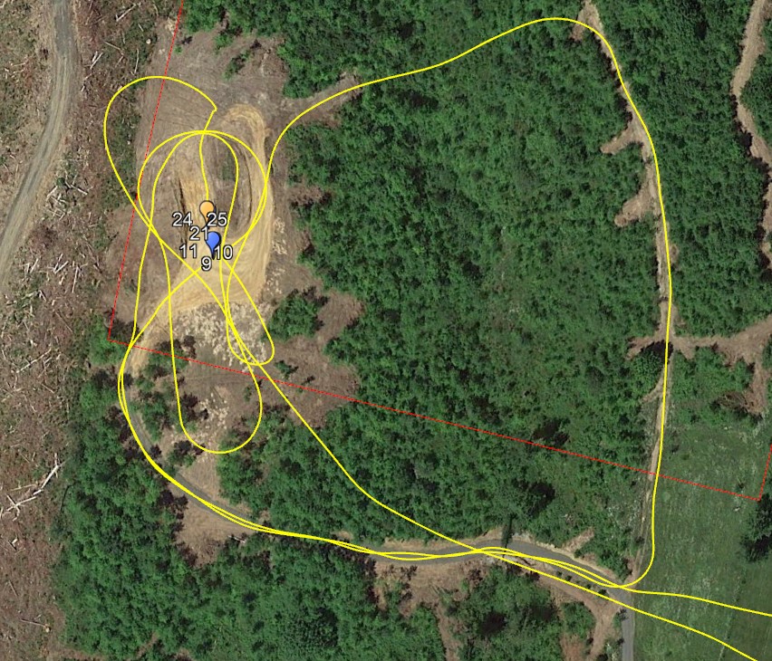
The first drone we flew was the DJI Avata, a FPV drone where we wore goggles and could see the river banks through the goggles. We flew up and down the river stopping in a few locations and identifying knotweed visually. We can use the map (KML) that is associated with the flight to determine the GEO location of the knotweed to contact the associated property owners for remediation. You can see the video below.
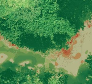
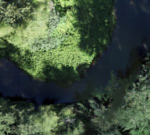
We also flew a DJI Matrice 300 RTK with 3 sensors. The first sensor we flew was the Micasense Altum multispectral sensor. We flew at 160ft elevation to avoid the tall trees. We used the data to create an NDVI map to analyze. While we are able to identify some of the knotweed, higher resolutions would be helpful. Additionally we would need to fly at various season of the Knotweed to help identify it (spring growth, flowering, leaf fall, etc).
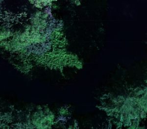
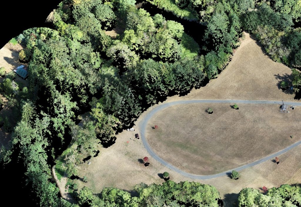
Subsequently we flew the DJI Matrice 300 RTK with the Zenmuse L1 lidar and RGB sensor. We used this data to compile an RGB map and a lidar point cloud. The RGB can help us get a clear image of the knotweed from the top. limitations are if the surround tree canopy is too dense we may not be able to see this from the aerial top view. If we are to fly this again we would recommend using a higher resolution sensor to help identify the leaves at a higher level GSD.
The lidar help get some penetration through the canopy. The limits to the lidar are that we needed to fly lower and around the stream bed to help get better identification. Lidar also does not reflect water, so it does not reflect the stream or any wet leaves post rainfall. It does identify the ground levels however.
We don’t have an exact workflow yet but we will be refining our methods so we can better and easily identify the locations of knotweed so control measures can be performed.
In the video below we are testing using a FPV drone to see if we can locate some knotweed easily.
While the image below is not the exact flight path for the above flight, it shows we can translate this to a KML and get geolocations for areas where we see knotweed. This will help to establish contact with the proper property owners.
