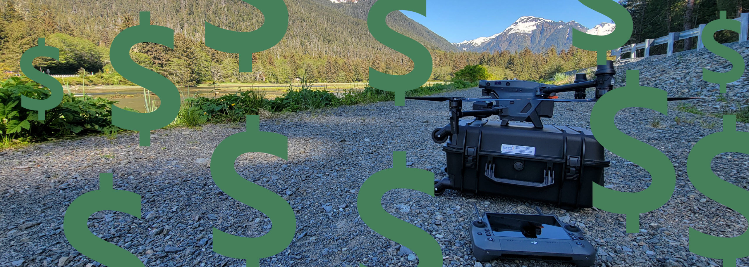
Skip to content Skip to footer

blog

Combo band multispectral

Remote Sensing & Geospatial Analysis

If you ever wanted to know what kind of data is being collected remotely, The Remote Sensing and Geospatial Analysis Laboratory (RSGAL) at the University of Washington is a place you may want to check out. Here they are using drones to capture and analyze data alongside lidar, multispectral, hyperspectral sensors and more. Some areas they are…

Read More

Autel Robotics Partners with Airdata

AirData and Autel Integration and Partnership to Reduce Risk on Autel EVO II Series with AirData Fleet Management AirData software platform integrates Autel EVO II Series drones Bothell, WA, [12/3/2020]: Today, AirData UAV and Autel Enterprise Robotics are announcing a new partnership specially tailored to meet the needs of Autel Pilots across the USA: Autel…

Read More

Patrick Hogan

3 Things to Look for When Choosing a Drone for Your Construction Firm

Recent developments in technology have made several innovations accessible to small and medium businesses as well as regular consumers. The construction industry, which has a reputation of being one of the least digitized sectors in the world, is seeing a surge in the use of new technology, from exosuits to protect workers to lien management software to…

Read More