How Drones Help in Education and Research
Drones and Unmanned Aerial Systems (UAS) are especially good at repetitive tasks and can be programmed to fly precisely over large areas. These features are crucial for scientific research on large tracts of land or sensitive wildlife habitats that would be disturbed by ground vehicles. The best drones for aerial research can be configured to carry heavy, flexible payloads so that you can swap out a scientific payload to take a different reading or get enhanced detail using a more sensitive research instrument.
In the post-graduate academic setting, scientific and research drones are enabling cutting-edge research in artificial intelligence, computer vision, visual odometry and sensor arrays that enable pathfinding, obstacle avoidance, object tracking and more. Research and education programs at the world’s top universities are even bringing drones together as one, creating swarms of many intelligent worker drones that can act as a single unit to carry out complex, labor-intensive tasks. The use of education drones can start even in primary school, allowing the youngest children and their teachers to learn the principles of flight, autonomy, and coding.
The Best Drone for the Classroom and Helping Kids Learn
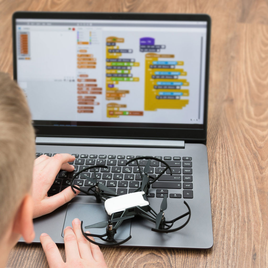
Drones are also being used in education settings to teach a variety of STEM skills. Starting as young as elementary school, kids and teens can begin building drone or use a pre-assembled model to get a quicker start. Each learner will understand how a multicopter or fixed-wing drone is controlled, how GPS technology and other sensors provide crucial input to the flight controllers, and what actions can be programmed in via simple visual programming languages.

The Tello Quadcopter Drone from DJI and Ryze is ideal as a first drone for most classroom users. It comes with a variety of safety and education-oriented features and has a very simple learning curve. At just under a hundred bucks, the Tello even includes propeller guards to keep the drone from damaging itself or others. The Tello is programmed with the easy-to-use visual block language called Scratch, and for teens studying more advanced languages there’s an SDK to write complex programs. Unlike simple toy drones, the Tello has a computer vision system that allows accurate flying and easy control, so it’s ready for both indoor and outdoor use.
Drones with a Large Payload Capacity to Carry Sensitive Instruments
When selecting a drone for scientific research, you’ll need a flexible payload capacity so that you can attach a variety of instruments and measurement devices. The best drones can safely carry several kilograms and provide power options on board while still allowing long flight times. The DJI Matrice 210 is the best compact option, and it can be outfitted with a variety of research- and education-friendly payloads. The Matrice 210 also boasts onboard power and data link options, even providing a unique onboard SDK that lets you custom design communications with your proprietary equipment and general purpose micro PC. Out of the box, the M210 lets you attach a variety of camera modules and let even allows a camera to be mounted on top so that you can get an unobstructed view of items overhead. A good option to start with is the inspection bundle, which includes both a 30X zoom camera and an infrared camera. Renting this complete system will give you a good idea of the capabilities, handling characteristics, and power of this unique drone. Large batteries allow up to 38 minutes of unladen flight time, or around 25-30 minutes with a normal camera payload.
Aerial Surveying with Magnetometers
Stepping up from the Matrice 210, your next option is the Matrice 600, which can carry an even larger payload than the M210 and is powered by up to six batteries so that even when fully loaded, flight time is adequate and power won’t be affected by battery failure.

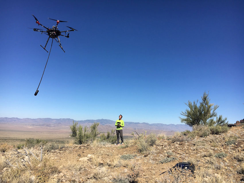
Here’s where things get really interesting: the Matrice 600’s six arms provide a huge amount of lifting capacity. You can load up the hexacopter with 34 pounds as the total takeoff weight, spread across some combination of payload and batteries. With about 10 pounds of sensors (which is 3X more than most entire drones weigh), the Matrice 600 can fly around 20 minutes and cover several miles of surveying or inspection work.
A particularly interesting application is the use of the M600 to fly a magnetometer over a field to perform a complete survey of the magnetic environment. The drone can cover ground much faster and over more difficult terrain than a team of ground surveyors. The geologists at International Geophysical Services in Denver have successfully used the Matrice 600 to suspend a magnetometer and locate capped and abandoned oil wells from their magnetic signature that’s visible even while flying at a safe altitude above the ground. This new technique is a much more reliable method than digging blinding based on an outdated survey. The IGS team have quickly and inexpensively located wells that were as far as 75 feet from their purported location on the survey map, saving countless days of digging and avoiding harm to the landscape during a fruitless search.
