Leading drone control software to elevate your productivity
Safe and efficient UAV toolset for land surveying and industrial inspections: custom elevation data import, Photogrammetry, Facade scan, LIDAR, Magnetometer, GPR and SAR survey planning tools with terrain following mode.
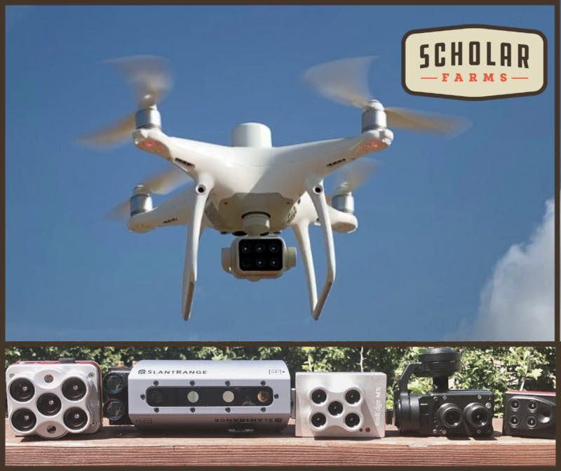
Supports most popular UAV platforms: DJI M600, M200, Inspire, Phantom 4 and other, Mavlink copatible Pixhawk/APM and Yuneec.
www.ugcs.com
Autonomous Drone Safety
ParaZero’s SafeAir is the #1 safety system on the market for commercial drones. SafeAir protects bystanders on the ground, prevents loss of payload and safeguards your drone equipment by ensuring your drone always lands safely.
ParaZero’s solutions are designed to comply with the future regulation that enables safe flight operations over populated areas and…
Build your perfect case
with MyCaseBuilder!
Design for a NEW case with custom foam
or REPLACEMENT foam for your existing case
www.mycasebuilder.com
WELCOME TO DRONE INDUSTRY INSIGHTS
The leading source for independent drone market intelligence
new home
Super excited to announce the launch the Farm Drone Sensor Showdown by Scholar Farms, a brand new online course.
The first questions I get in our in-person workshops or other online courses are about different multispectral cameras on the market. So, I created the Farm Drone Sensor Showdown to guide you in making an informed decision for the coming growing season.
I'll…
State of the art Technology Power over our patented micro-tether, allowing 10h+ flight times
www.elistair.com