Are Drones Expensive? It Depends on How You Use Them.
It’s a fair question—one we hear all the time: “Aren’t drones expensive?” And the honest answer is: it depends on your perspective.
Whether you’re flying for fun or using a drone as a critical tool for work, your viewpoint shapes how you measure value. Let’s explore what “expensive” really means in the world of drones and why cost is often outweighed by the benefits, especially when you choose the right drone for the job.
The Hobbyist’s Perspective
If you’re flying drones recreationally, cost is probably top of mind. Early hobbyist drones were simple—more like remote control toys than flying computers. Many could be bought for under $50, but they required constant manual control and offered limited flight stability.
As technology has evolved, so have expectations. Today, even consumer-grade drones come packed with powerful features:
-
High-resolution 4K cameras
-
GPS and autonomous flight
-
Obstacle detection and avoidance
-
Subject tracking
-
Return-to-home fail-safes
-
FAA Remote ID compliance
With all that tech packed in, the price naturally goes up. A quality hobbyist drone now starts at around $500–$1,000, and high-end consumer drones can go well beyond that. However, what you gain in reliability, performance, and experience more than justifies the cost.
The Professional’s Perspective
Now let’s shift gears and talk about professionals—surveyors, engineers, construction managers, emergency responders, and others who rely on drones as a critical part of their work.
Imagine a surveyor tasked with mapping 100 acres of land. Traditional ground-based surveys might take two people and several days—often more if the terrain is rugged. Add in the risks of working in the field, high labor costs, and slower turnaround times, and it becomes clear: this is not the most efficient process.
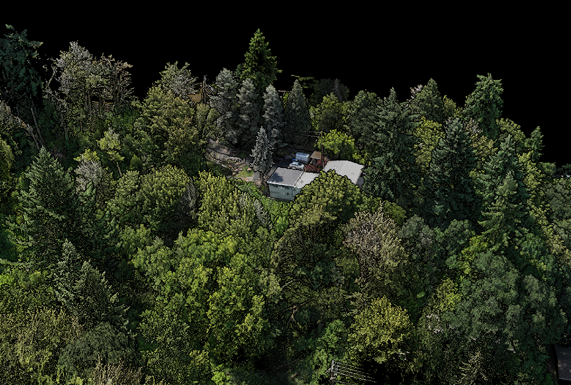
Now introduce a drone equipped with RTK GPS and mapping software. The same 100 acres could be flown and captured in just over an hour, with data processed into detailed, accurate maps in a few more. You go from 48+ labor hours down to 5—all while increasing accuracy and lowering risk.
And the tools for this? A reliable mapping drone starts at $2,000, while full-featured professional systems may cost up to $20,000 or more. At first glance, that may sound expensive—until you consider how quickly the savings and productivity gains add up. Within just a few projects, the drone pays for itself and starts adding value.
The Real Cost of Not Using a Drone
What’s more expensive: investing in advanced tools that save time and reduce risk, or sticking with outdated, labor-heavy methods? In most professional environments, the answer is obvious.
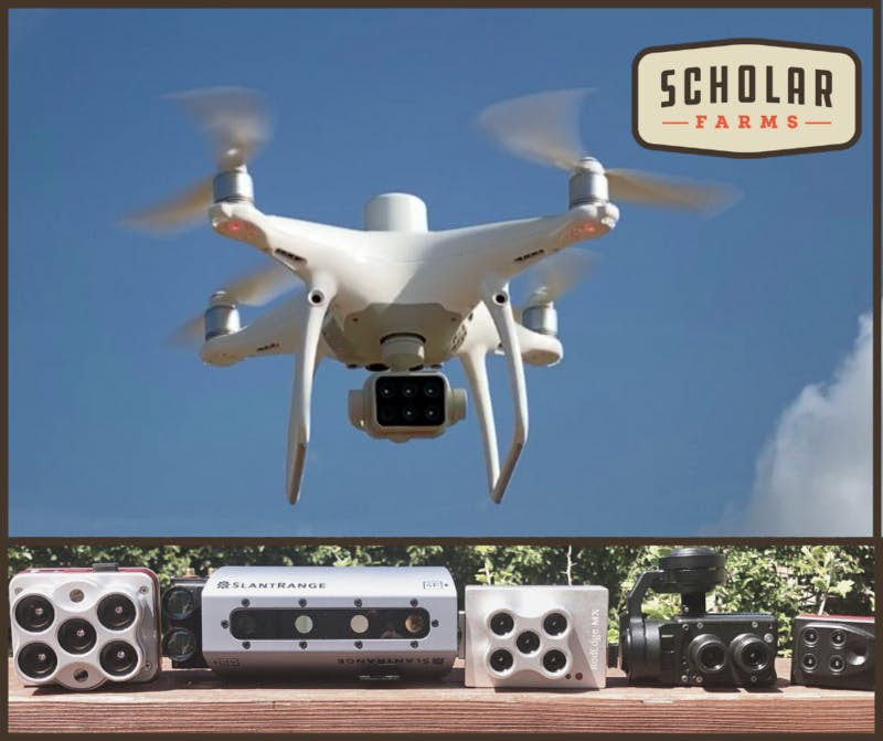
Drones today are not just flying cameras. They are smart, data-driven tools capable of:
-
3D mapping and topography
-
Thermal imaging for inspections
-
LiDAR for precise elevation modeling
-
Plant health analysis in agriculture
-
Search and rescue reconnaissance
-
Construction progress monitoring
-
Infrastructure and utility inspections
-
And so much more
And these tools often come with automation, live feeds, and powerful analytics software, reducing manual work and boosting productivity across the board.
The Bottom Line: Value Over Price
Yes, drones can be expensive—but they’re also versatile, high-tech assets with the ability to replace entire teams, reduce job site risk, and drastically shorten project timelines.
Drones now include:
-
High-performance sensors
-
AI-powered object tracking
-
Real-time video streaming
-
Automated mission planning
-
GPS-enabled return-to-home safety
-
Advanced autonomy features
That’s more tech than many cars—so it makes sense that some drones may cost as much as a car. But in professional settings, they often deliver a faster return on investment.
Why Choose Blue Skies Drones?
At Blue Skies Drones, we’ve spent more than 11 years helping hobbyists, professionals, and organizations get the most out of drone technology. We offer:
-
Nationwide drone and sensor rentals
-
New and used equipment sales
-
FAA-certified training
-
Consulting for industry-specific drone adoption
-
Custom drone integration and support
-
Repair services and maintenance
-
ROVs, quadrupeds, and autonomous robotics
Not sure which drone is right for your needs or budget? We’re here to help. Whether you’re looking to map fields, inspect rooftops, monitor construction, or explore underwater, we’ve got the right drone—and the experience to help you use it right.
Still wondering if drones are worth it? Let’s talk. We’ll show you how to reduce costs, improve safety, and capture incredible data—no matter your industry.
📞 Call us at844-474-8833
📧 Email: contact@blueskiesdronerental.com
🌐 www.blueskiesdronerental.com


